

Drakes Crossing Rural Fire Protection District
Current Conditions
LOCAL FIRE WEATHER Feb 13
High
Rain, not freezing, continuous, slight, very high winds forecasted for today.
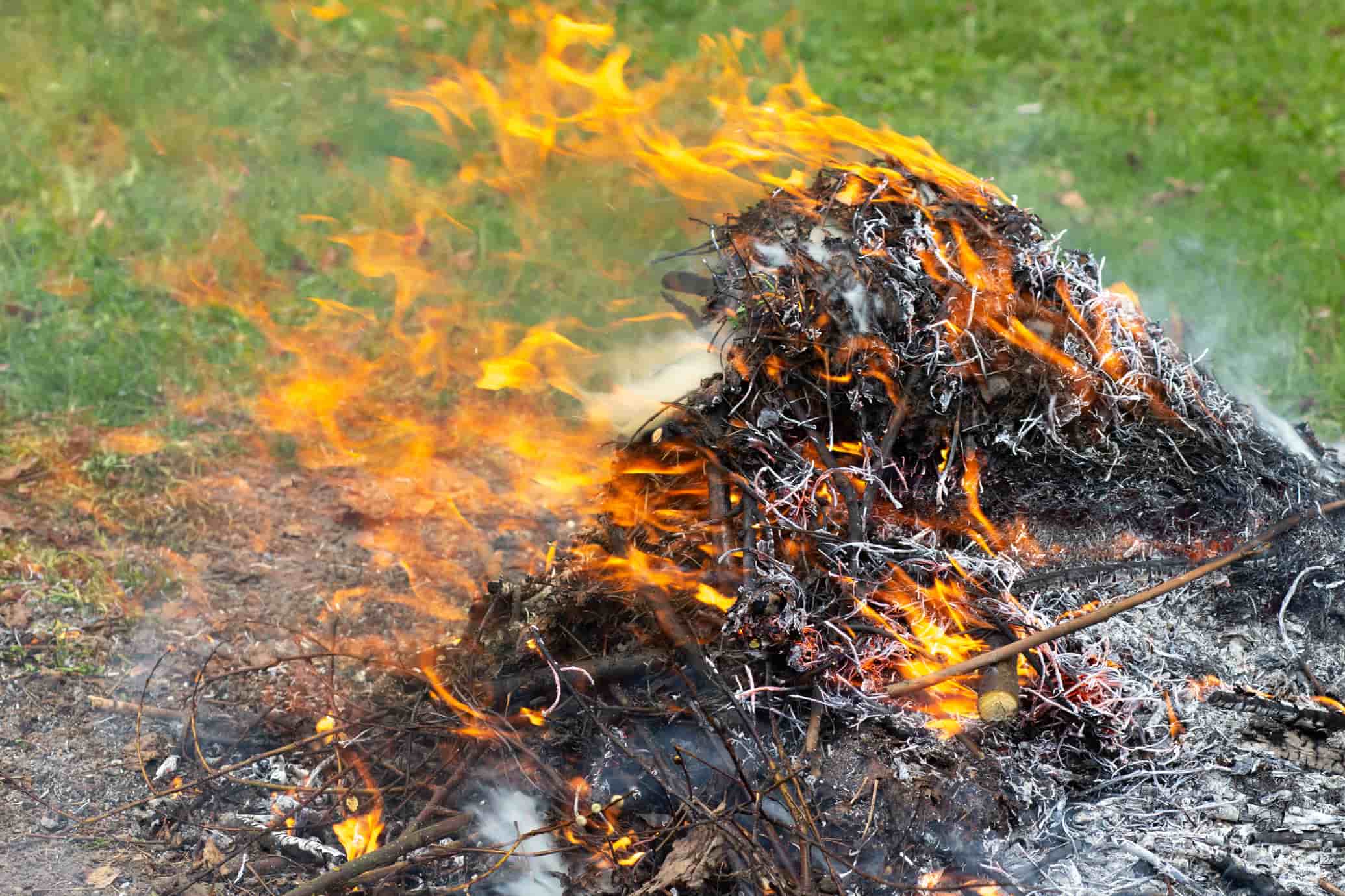
Outdoor Debris Burning
Drakes Crossing Rural Fire Protection District
Drakes Crossing Fire District is located in the eastern Willamette Valley, 20 miles east of Salem. Our district covers land between Silverton and Sublimity on Highway 214, on the Silverton side of Silver Falls State Park.
Public Contact Information
-
Emergency PhoneCall 911
-
Non-Emergency Phone(503) 873-6868
-

Boundary Map
7-Day Fire Weather Forecast
Today
Feb 13Rain, not freezing, continuous, slight, very high winds forecasted for today.
| Daylight | 7:13am - 5:35pm |
|---|---|
| Precipitation | 90%, 5.3 mm |
| Rel. Humidity | 83 - 100 % |
| Winds | SSW 13.7 - 30.4 mp/h |
| Soil Moisture | 0.29 m³/m³ |
Sat
Feb 14Continuous fall of snowflakes, slight, elevated winds forecasted for today.
| Daylight | 7:12am - 5:37pm |
|---|---|
| Precipitation | 65%, 6.55 mm |
| Rel. Humidity | 88 - 100 % |
| Winds | NE 9.7 - 17.9 mp/h |
| Soil Moisture | 0.32 m³/m³ |
Sun
Feb 15Fog or ice fog, sky invisible, no appreciable change, Generally favorable conditions for burning.
| Daylight | 7:10am - 5:38pm |
|---|---|
| Precipitation | 38%, 0 mm |
| Rel. Humidity | 76 - 100 % |
| Winds | NNE 6.1 - 7.8 mp/h |
| Soil Moisture | 0.30 m³/m³ |
Mon
Feb 16Snow shower(s), slight, elevated winds forecasted for today.
| Daylight | 7:09am - 5:40pm |
|---|---|
| Precipitation | 69%, 23.4 mm |
| Rel. Humidity | 89 - 100 % |
| Winds | SSW 10.1 - 20.8 mp/h |
| Soil Moisture | 0.33 m³/m³ |
Tue
Feb 17Snow shower(s), slight, elevated winds forecasted for today.
| Daylight | 7:07am - 5:41pm |
|---|---|
| Precipitation | 60%, 5.8 mm |
| Rel. Humidity | 83 - 100 % |
| Winds | S 10.9 - 23 mp/h |
| Soil Moisture | 0.32 m³/m³ |
Wed
Feb 18Drizzle, not freezing, continuous, slight, Generally favorable conditions for burning.
| Daylight | 7:06am - 5:42pm |
|---|---|
| Precipitation | 54%, 0.9 mm |
| Rel. Humidity | 77 - 98 % |
| Winds | SSE 5.7 - 7.8 mp/h |
| Soil Moisture | 0.31 m³/m³ |
Thu
Feb 19Continuous fall of snowflakes, slight, very high winds forecasted for today.
| Daylight | 7:04am - 5:44pm |
|---|---|
| Precipitation | 75%, 4.6 mm |
| Rel. Humidity | 96 - 100 % |
| Winds | SSW 12.2 - 26.6 mp/h |
| Soil Moisture | 0.34 m³/m³ |
** Yellow or Red highlights indicates more dangerous fire weather conditions. Please verify burning status with your local fire agency.
Brought To You By
For Residents
For Residents within the Drakes Crossing Rural Fire Protection District jurisdiction: Sign in to learn about your local Outdoor Burning Regulations, communicate with your local fire agency officials, read condition reports, create and update your own outdoor burn status.
This service is free, brought to you by this public safety partnership with Drakes Crossing Rural Fire Protection District.
About PFS
At PublicFireSafety.com (or PFS), our mission is to improve communication in public safety.
By coordinating the needs of our public safety agencies and the residents they serve, PFS is working with these professionals and residents to re-imagine permitting, regulations, safety and communication for modern communities.
Regional Partners

State of Oregon
Oregon is served by a coordinated network of state, regional, and local agencies that work together to protect communities, manage natural resources, and deliver essential services. From environmental protection to public safety, these agencies ensure responsive, equitable governance across the state’s diverse landscapes—supporting residents through collaboration, innovation, and a commitment to community well-being.